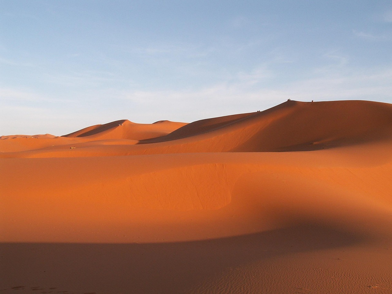
to travel, morocco, erfoud, sand dune, desert, sand, landscape, nature
Road sequence
Tinghir → Erfoud
Places along the road
Planning this connection
Choose your departure point and destination entrance before arranging transport. The mapped road estimate excludes visits and rest stops. Confirm a departure time, vehicle, luggage space and final fare directly with the transport service you choose.
A road connection from Tinghir to Erfoud. Follow the stop links to destination guides, compare the mapped road estimate, and choose where to pause before arranging transport.
- 道路ネットワークでの運転時間
- 2h 34m
- 道路距離(km)
- 141 km
道路マップ
認証済みの地元の方が提供
関連付けられたパートナー提供はまだありません。
Browse local services in Draa-Tafilaletさらに探索
Tinghir
- Rock Climbing in Morocco
Rock climbing in Morocco can be attached to Todra, Taghia, Tafraoute, the Rif and other verified sectors.
- Tinghir
ティンジールはトドラ渓谷の口の緑の町である —— 川が三百メートルの渓谷を抜け出し、砂漠へと広がる、ヤシ林と古い土煉瓦の村々のオアシスである。渓谷そのものが北へ十五分で、絶頂である:朝の陽が遅い潮のように届く、そびえる薔薇灰色の壁の間の一本の道である。ティンジールはかつてフランスの行政拠点であり、今もトドラのための自然な拠点であり、ダデス谷と深い南東を結ぶ。
- Todra Gorge
トドラ渓谷に入れ — 峡谷の壁はおよそ300メートル立ち上がると伝えられ、川は真昼でも涼しい。登攀者は岩を愛す;大半の訪問者は舗装された谷底をただ散歩し、見上げる。日帰り客で混むことがあるので、より静かな時間に歩きを合わせよ。
- Boumalne Dades to Tinghir via Todra Gorge by road
A road connection from Boumalne Dades to Tinghir, passing through Todra Gorge. Follow the stop links to destination guides, compare the mapped road estimate, and choose where to pause before arranging transport.
- Tinghir to Agdz via Alnif, N'Kob by road
A road connection from Tinghir to Agdz, passing through Alnif, N'Kob. Follow the stop links to destination guides, compare the mapped road estimate, and choose where to pause before arranging transport.
- Tinghir to Imilchil via Tamtattouchte by road
A road connection from Tinghir to Imilchil, passing through Tamtattouchte. Follow the stop links to destination guides, compare the mapped road estimate, and choose where to pause before arranging transport.