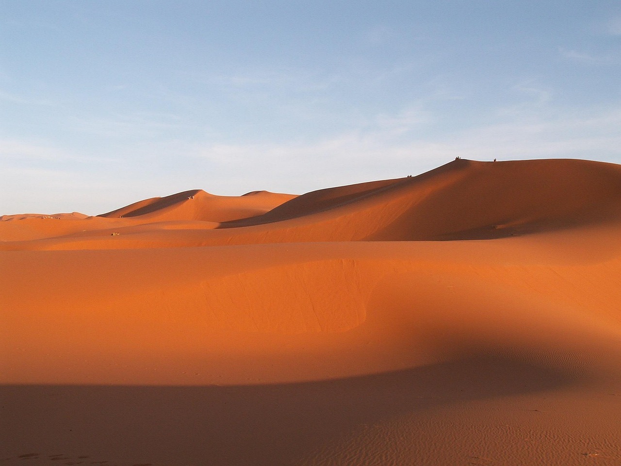
to travel, morocco, erfoud, sand dune, desert, sand, landscape, nature
Road sequence
Tinghir → Erfoud
Places along the road
Planning this connection
Choose your departure point and destination entrance before arranging transport. The mapped road estimate excludes visits and rest stops. Confirm a departure time, vehicle, luggage space and final fare directly with the transport service you choose.
A road connection from Tinghir to Erfoud. Follow the stop links to destination guides, compare the mapped road estimate, and choose where to pause before arranging transport.
- Fahrzeit im Straßennetz
- 2h 34m
- km auf der Straße
- 141 km
Straßenkarte
Von verifizierten Einheimischen angeboten
Noch sind keine Partnerangebote verknüpft.
Browse local services in Draa-TafilaletWeiter entdecken
Tinghir
- Rock Climbing in Morocco
Rock climbing in Morocco can be attached to Todra, Taghia, Tafraoute, the Rif and other verified sectors.
- Tinghir
Tinghir ist die grüne Stadt am Mund der Todra-Schlucht — eine Oase aus Palmenoasen und alten Lehmziegeldörfern, wo der Fluss aus einer dreihundert Meter tiefen Schlucht bricht und sich in die Wüste ausbreitet.
- Todra Gorge
Geh in die Todra-Schlucht, wo die Canyonwände angeblich rund 300 Meter aufragen und der Fluss auch am Mittag kühl fließt. Kletterer lieben den Fels; die meisten Besucher schlendern einfach über den gepflasterten Grund und schauen hinauf.
- Boumalne Dades to Tinghir via Todra Gorge by road
A road connection from Boumalne Dades to Tinghir, passing through Todra Gorge. Follow the stop links to destination guides, compare the mapped road estimate, and choose where to pause before arranging transport.
- Tinghir to Agdz via Alnif, N'Kob by road
A road connection from Tinghir to Agdz, passing through Alnif, N'Kob. Follow the stop links to destination guides, compare the mapped road estimate, and choose where to pause before arranging transport.
- Tinghir to Imilchil via Tamtattouchte by road
A road connection from Tinghir to Imilchil, passing through Tamtattouchte. Follow the stop links to destination guides, compare the mapped road estimate, and choose where to pause before arranging transport.