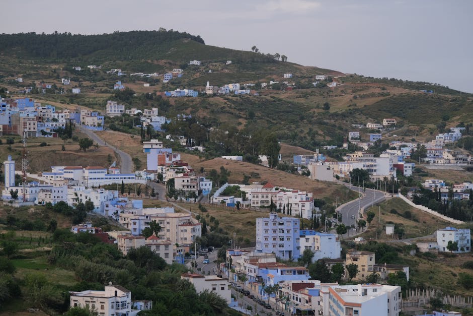
Picturesque view of Chefchaouen's hillside with white and blue buildings under a cloudy sky.
Road sequence
Larache → Ouazzane → Chefchaouen
Places along the road
Planning this connection
Choose your departure point and destination entrance before arranging transport. The mapped road estimate excludes visits and rest stops. Confirm a departure time, vehicle, luggage space and final fare directly with the transport service you choose.
A road connection from Larache to Chefchaouen, passing through Ouezzane. Follow the stop links to destination guides, compare the mapped road estimate, and choose where to pause before arranging transport.
- 도로망 기준 운전 시간
- 3h 6m
- 도로 기준 km
- 154 km
도로 지도
검증된 현지인이 제공함
아직 연결된 파트너 상품이 없습니다.
Browse local services in Tangier-Tetouan-Al Hoceima더 둘러보기
Larache
- Larache
라라슈는 룩코스 강이 바다와 만나는 대서양 항구로, 페니키아, 로마, 스페인, 아랍의 층이 짧은 운전 거리 안에 포개져 있다. 마을 바로 밖에 릭수스 유적이 선다 — 카르타고보다 오래된 페니키아 정착지로, 원형극장과 어물(魚物) 소금 통이 그리스인들이 헤스페리데스의 정원을 둔 하구를 내려다본다. 스페인은 1950년대까지 마을을 쥐었고, 메디나는 여전히 그들의 아치와 발코니를 간직한다. 이웃보다 조용하고, 더 싸다.
- Moussem Moulay Abdessalam Ben Mchich
Moussem Moulay Abdessalam Ben Mchich connects event programming with dates, tickets, hotels, transport and destination experiences in Tangier-Tetouan-Al Hoceima.
- Lixus Archaeological Site
Lixus Archaeological Site is a lower-visibility archaeological site in Tangier-Tetouan-Al Hoceima, best understood through access, season and responsible local support.