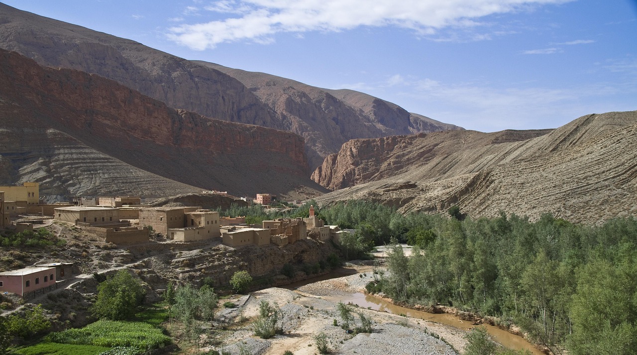
gorges du dades, dades canyon, morocco, landscape, high mountains, plateau
Connections across Morocco
The road is ordered as Skoura → Boumalne Dades.
From Skoura to Boumalne Dades: road guide, the encoded physical road sequence is direct.
- 道路ネットワークでの運転時間
- 1h 20m
- 道路距離(km)
- 71 km
道路マップ
認証済みの地元の方が提供
関連付けられたパートナー提供はまだありません。
Skoura to Boumalne Dades: road guideに関連する体験を提供している場合は、パートナーポータルで登録してください。
さらに探索
Skoura · Draa-Tafilalet
- Walking the irrigation paths of Skoura
Skoura's palmery makes sense when water comes first. A local guide begins with the idea of underground and surface distribution, then follows a public or host-confirmed path past field boundaries, date palms and earth buildings. Visible khettara features are interpreted from a safe distance; shafts are not entrances and channels are not footpaths. The walk avoids claiming that every grove is lush in every season, letting drought, repair and changing cultivation remain visible.
- Skoura
スコーラのパルメライはワルザザートの東にあり、農地と土造りのカスバが共存しています。アムリディルのカスバは、人々が暮らし耕すこの風景の中で、個別に訪ねたい建築です。
- Inside Kasbah Amridil
A guide can prepare travellers to notice ventilation, thresholds and material repair rather than rush to the most photographed façade.
- Boufeggous Dates
Boufeggous Dates centers on a prized Moroccan date variety associated with Tafilalet oases and autumn harvest markets.
- Erfoud Date Festival
Erfoud Date Festival is a harvest festival recurring series based in Erfoud and connected to Draa-Tafilalet. The event is defined by Tafilalet dates, oasis agriculture, product exhibitions, music and regional trade.
- Agoudal Road Conditions
Agoudal is the right place for a formal go/no-go decision on high roads linking Imilchil, Todra and Dadès. This service gathers local road condition, weather, fuel range, daylight and vehicle suitability, then records a confirmed road or a safe turnaround. It does not convert local advice into an official road-opening decree, and it never pressures a driver to continue for itinerary prestige.