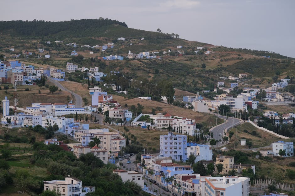
Picturesque view of Chefchaouen's hillside with white and blue buildings under a cloudy sky.
Road sequence
Larache → Ouazzane → Chefchaouen
Places along the road
Planning this connection
Choose your departure point and destination entrance before arranging transport. The mapped road estimate excludes visits and rest stops. Confirm a departure time, vehicle, luggage space and final fare directly with the transport service you choose.
A road connection from Larache to Chefchaouen, passing through Ouezzane. Follow the stop links to destination guides, compare the mapped road estimate, and choose where to pause before arranging transport.
- 道路ネットワークでの運転時間
- 3h 6m
- 道路距離(km)
- 154 km
道路マップ
認証済みの地元の方が提供
関連付けられたパートナー提供はまだありません。
Browse local services in Tangier-Tetouan-Al Hoceimaさらに探索
Larache
- Larache
ララシェはルッコス川が海と出会る大西洋の港で、フェニキア、ローマ、スペイン、アラブの層が短い運転の間に重なり合う。町のすぐ外にリクススの遺跡が立つ —— カルタゴより古いフェニキアの定住地で、円形劇場と魚の塩蔵槽が、ギリシャ人がヘスペリデスの園を置いた河口を見下ろす。スペインは 1950 年代まで町を持ち、メディナは今も彼らのアーチとバルコニーを残す。隣人より静かで、より安い。
- Moussem Moulay Abdessalam Ben Mchich
Moussem Moulay Abdessalam Ben Mchich connects event programming with dates, tickets, hotels, transport and destination experiences in Tangier-Tetouan-Al Hoceima.
- Lixus Archaeological Site
Lixus Archaeological Site is a lower-visibility archaeological site in Tangier-Tetouan-Al Hoceima, best understood through access, season and responsible local support.