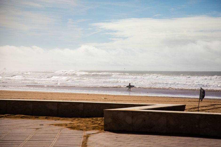
A lone surfer walks along a sunny Moroccan beach with waves and blue sky in the background.
Road sequence
Agadir → Taghazout → Tamraght
Places along the road
Planning this connection
Choose your departure point and destination entrance before arranging transport. The mapped road estimate excludes visits and rest stops. Confirm a departure time, vehicle, luggage space and final fare directly with the transport service you choose.
A road connection from Agadir to Tamraght, passing through Taghazout. Follow the stop links to destination guides, compare the mapped road estimate, and choose where to pause before arranging transport.
- 道路ネットワークでの運転時間
- 33 min
- 道路距離(km)
- 33 km
道路マップ
認証済みの地元の方が提供
関連付けられたパートナー提供はまだありません。
Browse local services in Souss-Massaさらに探索
Agadir
- Agadir
Use Agadir for an Atlantic stay with city visits, markets and carefully chosen surf or inland outings. Compare the seafront, your accommodation and actual activity meeting points before planning each day.
- Amlou
The culinary identity of Amlou rests on a spread of almonds, culinary argan oil and honey associated with Souss breakfasts.
- Agadir Biyelmawn International Carnival
Agadir’s Biyelmawn carnival brings masked performance traditions from Souss-Massa into a programmed city procession with exhibitions, discussion and visiting African troupes.
- Agadir Marina and waterfront
Agadir's marina sits at the northern end of the city's Atlantic waterfront, below the kasbah hill. Walk the public seafront or choose a specific café, restaurant or beach access as your stop. A waterfront visit is separate from entering operational port areas or booking a boat activity.
- Agadir Family City and Surf Coast in 5 Days
Agadir Family City and Surf Coast in 5 Days connects Agadir, Taghazout.
- Agadir Oufella
Agadir Oufella is the hilltop kasbah site overlooking Agadir and its Atlantic bay. It is a distinct heritage and viewpoint visit above the modern city, not a place in the inland Atlas. Choose your approach and check access arrangements before adding it to a city or cruise-day itinerary.