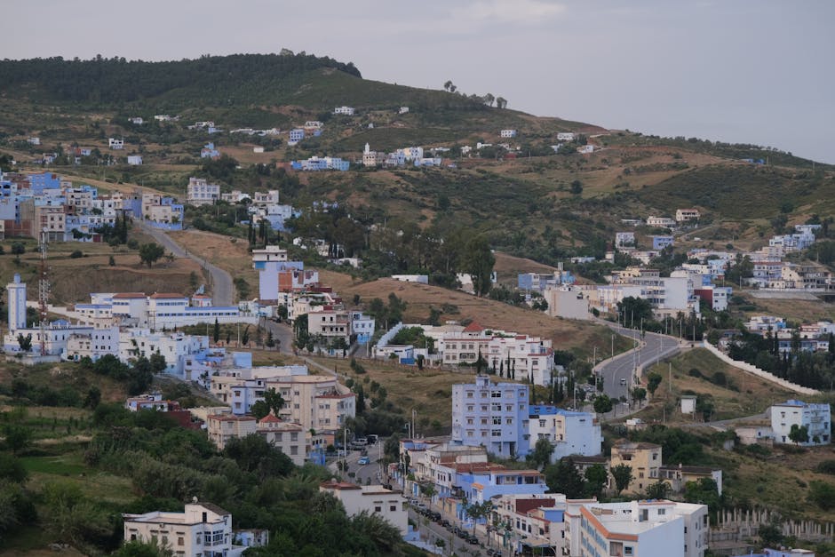
Picturesque view of Chefchaouen's hillside with white and blue buildings under a cloudy sky.
Road sequence
Larache → Ouazzane → Chefchaouen
Places along the road
Planning this connection
Choose your departure point and destination entrance before arranging transport. The mapped road estimate excludes visits and rest stops. Confirm a departure time, vehicle, luggage space and final fare directly with the transport service you choose.
A road connection from Larache to Chefchaouen, passing through Ouezzane. Follow the stop links to destination guides, compare the mapped road estimate, and choose where to pause before arranging transport.
- सड़क नेटवर्क पर ड्राइविंग समय
- 3h 6m
- सड़क से किमी
- 154 km
सड़क मानचित्र
सत्यापित स्थानीय लोगों द्वारा पेश किया गया
अभी तक कोई भागीदार ऑफ़र संलग्न नहीं है।
Browse local services in Tangier-Tetouan-Al Hoceimaऔर जगहें जानें
Larache
- Larache
लाराचे एक अटलांटिक बंदरगाह शहर है जो लौकस नदी के मुहाने पर बैठता है, और इसकी परतें — फ़ोनीशियन, पुर्तगाली, स्पेनी, और अब मोरक्कन — इसे स्पष्ट रूप से पढ़ती हैं।
- Moussem Moulay Abdessalam Ben Mchich
Moussem Moulay Abdessalam Ben Mchich connects event programming with dates, tickets, hotels, transport and destination experiences in Tangier-Tetouan-Al Hoceima.
- Lixus Archaeological Site
Lixus Archaeological Site is a lower-visibility archaeological site in Tangier-Tetouan-Al Hoceima, best understood through access, season and responsible local support.