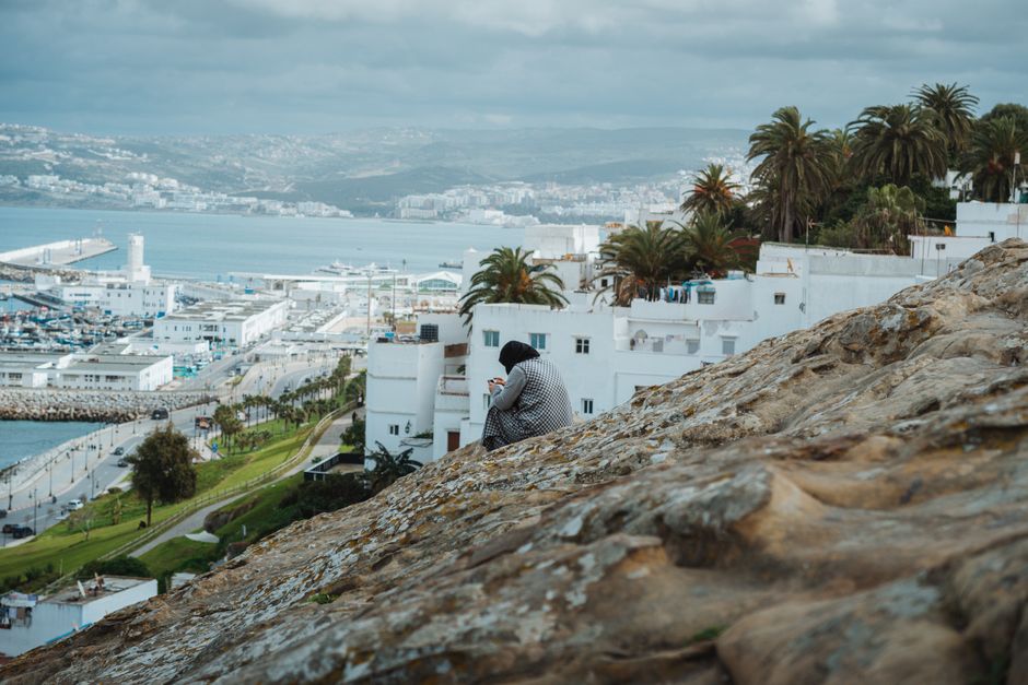
Tangier waterfront: port, marina and bay
Woman sitting on hill overlooking Tangier port, capturing urban landscape.
Along the city waterfront
The waterfront belongs to the urban side of Tangier. Views across the bay, the marina and the working port offer different ways to explore the coast. A photograph of the harbour does not identify an individual ferry berth or a boarding entrance.
Port arrivals
Tanger Ville’s passenger port and Tangier’s railway station are separate places. Tanger Med is a different port outside the city. Use the Tangier ferry arrival guide to choose the correct terminal and continuation.
Build a waterfront day
Keep a waterfront walk distinct from travel formalities, then connect it with the medina or other named city places. The Tangier destination guide and nearby places to visit share the same travel area.
Tangier’s city waterfront brings together the bay, marina and Tanger Ville port. These are neighbouring places with different purposes. Choose a promenade walk, a port arrival or a marina visit before planning the rest of your day.
Territorio marroquí
Leer el territorio
- Ciudad o pueblo
- Tangier
- Región
- Tangier-Tetouan-Al Hoceima
Ofrecido por personas locales verificadas
Todavía no hay ofertas de socios asociadas.
Browse local services in Tangier-Tetouan-Al HoceimaSigue explorando
Tangier
- Asilah
Asilah brings together an Atlantic-facing medina, ramparts and a tradition of art in public streets. Choose it for a town walk with sea views, then make a separate plan for beach time. Tangier provides a different northern city experience along the same coast.
- Tangier Bocadillo
The culinary identity of Tangier Bocadillo rests on north-Moroccan sandwich culture influenced by Mediterranean and Spanish food habits.
- Ibn Battuta International Festival
Tangier’s Ibn Battuta festival uses the city-born traveler as a starting point for literature, exploration, performance and cross-cultural exchange. It works best when the historical figure is contextualized rather than romanticized: one official talk or exhibition can precede a medina walk connecting travel writing, port geography and later Tangier narratives. Programs and venues vary, and not every activity is an exact reenactment of Ibn Battuta’s life.
- Atlantic Morocco by Train and Driver in 12 Days
Atlantic Morocco by Train and Driver in 12 Days connects Tangier, Rabat, Casablanca.
- Achakar Beach
Achakar Beach is a lower-visibility atlantic beach in Tangier-Tetouan-Al Hoceima, best understood through access, season and responsible local support.
- Tangier to Tetouan via Asilah by road
A road connection from Tangier to Tetouan, passing through Asilah. Follow the stop links to destination guides, compare the mapped road estimate, and choose where to pause before arranging transport.