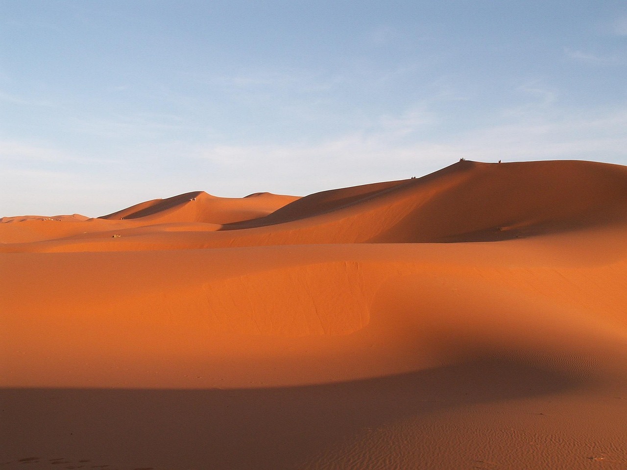
to travel, morocco, erfoud, sand dune, desert, sand, landscape, nature
Connections across Morocco
The road is ordered as Tinghir → Erfoud.
The mapped road from Tinghir to Erfoud: road guide is a direct physical segment.
- road-network drive time
- 2h 36m
- km by road
- 142 km
Road map
Offered by verified locals
No partner offers are attached yet.
If you offer an experience around Tinghir to Erfoud: road guide, claim it in the partner portal.
Continue exploring
Tinghir
- Rock Climbing in Morocco
Rock climbing in Morocco can be attached to Todra, Taghia, Tafraoute, the Rif and other verified sectors.
- Tinghir
Tinghir is the green town at the mouth of the Todra Gorge — an oasis of palmeries and old mud-brick villages where the river breaks out of a three-hundred-metre canyon and spreads into the desert.
- Todra Gorge
Walk into the Todra Gorge, where the canyon walls reportedly rise some 300 metres and the river runs cool even at midday. Climbers love the rock; most visitors simply stroll the paved floor and look up.
- Dades Todra Tinghir Valley Road
Dades Todra Tinghir Valley Road connects its principal stops through dades and todra, with enough flexibility for different trip lengths, travel styles and service levels.
- Tinghir, Alnif, Nkob and Agdz Road
The mapped road from Tinghir to Agdz runs via Alnif and Nkob. Planning flags include heat, long sparse sections, fuel and break planning, and daylight preferred.
- Tinghir Tamtattouchte Imilchil Mountain
From Tinghir to Imilchil, the physical road sequence passes via Tamtattouchte.