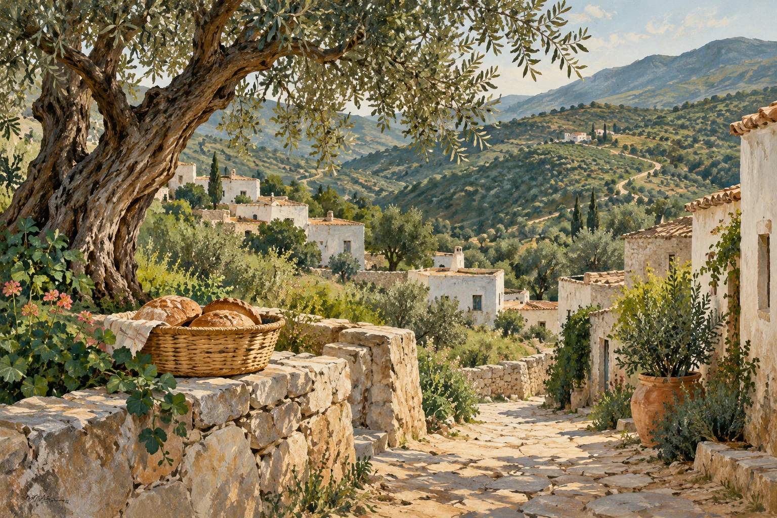
Editorial illustration of Rif mountain village travel for Bni Hadifa.
A sense of place
Bni Hadifa is a Rif mountain village that can support local-hosted travel, mountain-road itineraries, food and cultural interpretation behind the Al Hoceima coast.
摩洛哥地域
读懂这片土地
- 城市或村镇
- Bni Hadifa
- 大区
- Tangier-Tetouan-Al Hoceima
Mapped places around the destination use a 20 km geographic area. Use the road-distance filter in Explore to check your approach.
Culture and places to visit
Named sights and visitor guides for your stay.
- Mohammed VI
Mohammed VI is recorded as a park in Al Hoceima.
- جزيرة تگزرين
جزيرة تگزرين is recorded as a visitor attraction in Al Hoceima.
- شاطئ ثكزيرين
شاطئ ثكزيرين is recorded as a visitor attraction in Al Hoceima.
- شاطيء إتراكنا
شاطيء إتراكنا is recorded as a visitor attraction in Al Hoceima.
- شاطيء ماس أشرقي
شاطيء ماس أشرقي is recorded as a visitor attraction in Al Hoceima.
Beaches and coast
Named coastal places for your stay.
Arriving and getting around
Transport stops and connections for your arrival.
Choose your actual arrival address or use your location to plan the final approach. Confirm the visitor entrance and vehicle access before arranging a transfer.
Stay & arrange your visit
Explore accommodation around Bni Hadifa or review services offered by local providers. A place in the guide does not imply available rooms or a partnership.