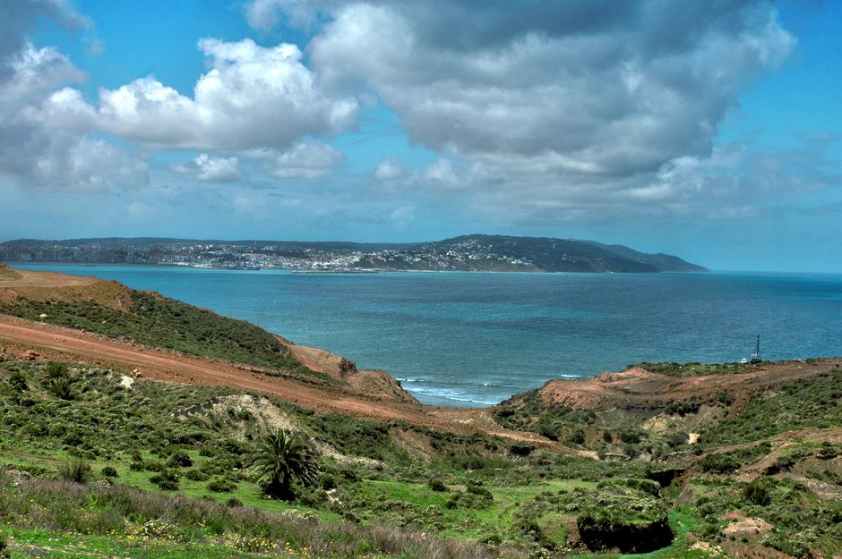
Stunning coastal landscape of Tangier, Morocco with lush greenery and blue sea.
Along the road
This road links Nador with remote Cap des Trois Fourches coastal landscapes before continuing toward Al Hoceima. It is best treated as a driver-led scenic road with condition checks. Nador Cap des Trois Fourches Al Hoceima Road should be treated as a road system, with stops, travel time, optional detours and service choices rather than a single destination page.
The main connected points are Cap des Trois Fourches, Driouch, and Al Hoceima. The baseline estimate is approximately 160 km and 240 minutes in normal planning conditions, but road, weather, traffic and stop duration can change the result.
Nador Cap des Trois Fourches Al Hoceima Road should be represented as a map line and connected to each stop page.
- karayolu ağı sürüş süresi
- 3h 40m
- karayoluyla km
- 183 km
Yol haritası
Doğrulanmış yerel kişiler tarafından sunulur
Henüz bağlı iş ortağı teklifi yok.
Nador Cap des Trois Fourches Al Hoceima Road çevresinde bir deneyim sunuyorsanız iş ortağı portalında hak talebinde bulunun.
Keşfetmeye devam edin
Nador
- Farkhana
Farkhana is a practical Nador-area town near the northern border corridor. It supports local services, family movement, road travel and regional accuracy rather than conventional sightseeing.
- Nador International Festival of Cinema and Common Memory
Nador’s Common Memory festival joins film with public reflection on history, rights, democracy and peace. ” A traveler can pair one competition or panorama screening with one moderated conversation and leave unscheduled time around Marchica or Nador’s center.
- Marchica Lagoon Birding in 5 Days
Marchica Lagoon Birding in 5 Days connects Nador, Kariat Arekmane, Saidia.
- Cap des Trois Fourches
Cap des Trois Fourches is a wild headland in Oriental, best approached from Nador. Its value comes from a dramatic headland of cliffs, coves and remote Mediterranean roads.
- Nador Bni Chiker Cap des Trois Fourches
This Nador–Cap des Trois Fourches road links the named physical waypoints via Bni Chiker Cliffs and Cape Gateway.
- Kariat Arekmane
Kariat Arekmane — a coastal and Marchica-lagoon road anchor east of Nador.