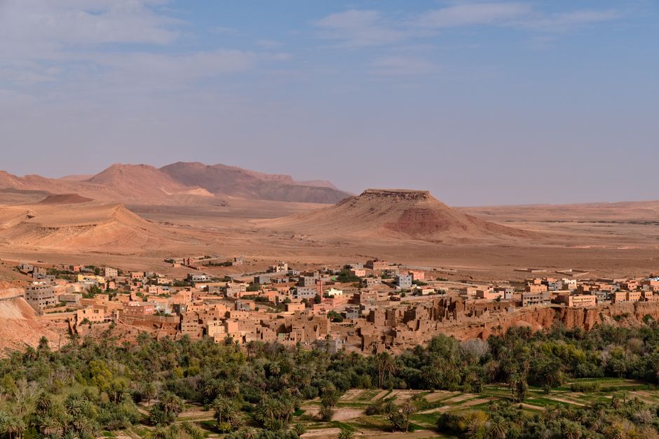
Aerial view of a traditional Moroccan town in a desert landscape with mountains.
Connections across Morocco
Mountain village base between Todra and Ait Hani
Tamtattouchte — Mountain village base between Todra and Ait Hani.
모로코의 땅
땅을 읽다
- 지방
- Draa-Tafilalet
Mapped places around the destination use a 20 km geographic area. Use the road-distance filter in Explore to check your approach.
Culture and places to visit
Named sights and visitor guides for your stay. Showing 6 selected places.
- Ancienne Kasbah
Ancienne Kasbah is recorded as a visitor attraction in Tinghir.
- Coeur de la palmeraie
Coeur de la palmeraie is recorded as a viewpoint in Tinghir.
- Difficile
Difficile is recorded as a viewpoint in Tinghir.
- Gorge photos tall
Gorge photos tall is recorded as a viewpoint in Tinghir.
- Gorges de Todgha Aghbalou N Todra
Gorges de Todgha Aghbalou N Todra is recorded as a visitor attraction in Tinghir.
- Gorges du Todra
Gorges du Todra is recorded as a visitor attraction in Tinghir.
Nature and outdoors
Outdoor places around this destination.
Crafts and markets
Named markets and places to meet Moroccan craftsmanship.
Places to stay
Named accommodation. Confirm facilities and availability directly with the host. Showing 6 selected places.
- Addoud
Addoud is recorded as a caravan site in Tinghir.
- Adrar
Adrar is recorded as a campsite in Tinghir.
- A Secret Garden - Aventures Verticales Maroc
A Secret Garden - Aventures Verticales Maroc is recorded as a guest house in Tinghir.
- Auberge
Auberge is recorded as a guest house in Tinghir.
- Auberge Adrar
Auberge Adrar is recorded as a hotel in Tinghir.
- Auberge Baddou
Auberge Baddou is recorded as a hotel in Tinghir.
Stay & arrange your visit
Explore accommodation around Tamtattouchte or review services offered by local providers. A place in the guide does not imply available rooms or a partnership.
지도에서
검증된 현지인이 제공함
아직 연결된 파트너 상품이 없습니다.
Browse local services in Draa-Tafilalet