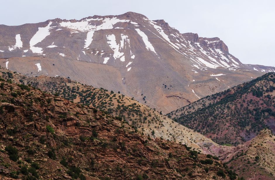
Stunning view of a snow-dusted mountain in an arid landscape with rocky terrain.
Along the itinerary
Nador, Marchica and Cap des Trois Fourches in 5 Days is a 5-day, 4-night multi-stop itinerary built around a lagoon city, sensitive wetland systems, a remote headland and an easier Mediterranean exit.
Nador is the service and food base; Marchica is visited as an interpreted wetland, the headland receives a dedicated daylight stage, and Saidia closes the itinerary with simpler onward logistics.
Season and access
- Nador, Marchica and Cap des Trois Fourches in 5 Days can be affected by Atlantic or Mediterranean wind, swell, currents and fog, especially around beaches, boats and water sports.
- On Nador, Marchica and Cap des Trois Fourches in 5 Days, protected wetlands and headlands require locally confirmed access; conservation status never permits unrestricted recreation.
Nador, Marchica and Cap des Trois Fourches in 5 Days connects Nador, Marchica Lagoon, Cap des Trois Fourches.
모로코를 잇는 길
장소와 길
- 도시 또는 마을
- Nador
- 지방
- Oriental
도로 지도
파트너와 이 여정 준비하기
아직 연결된 파트너 상품이 없습니다.
Nador, Marchica and Cap des Trois Fourches in 5 Days 관련 체험을 제공한다면 파트너 포털에서 등록하세요.
더 둘러보기
Nador
- Farkhana
Farkhana is a practical Nador-area town near the northern border corridor. It supports local services, family movement, road travel and regional accuracy rather than conventional sightseeing.
- Nador International Festival of Cinema and Common Memory
Nador’s Common Memory festival joins film with public reflection on history, rights, democracy and peace. ” A traveler can pair one competition or panorama screening with one moderated conversation and leave unscheduled time around Marchica or Nador’s center.
- Marchica Lagoon Birding in 5 Days
Marchica Lagoon Birding in 5 Days connects Nador, Kariat Arekmane, Saidia.
- Cap des Trois Fourches
Cap des Trois Fourches is a wild headland in Oriental, best approached from Nador. Its value comes from a dramatic headland of cliffs, coves and remote Mediterranean roads.
- Nador Bni Chiker Cap des Trois Fourches
This Nador–Cap des Trois Fourches road links the named physical waypoints via Bni Chiker Cliffs and Cape Gateway.
- Kariat Arekmane
Kariat Arekmane — a coastal and Marchica-lagoon road anchor east of Nador.