
Street in Mhamid (South-Morocco), town at the beginning of Sahara-desert
이야기
아스팔트가 끝나는 믈하미드 엘 기즐란에서 멈춰라 — 사하라가 시가가로 향하는 남쪽 길을 삼키기 전 마지막 마을. 여기 대추야자는 엷어지고 먼지가 낙타와 장작연기를 싣는다 — 여행자가 찾아오는 변경의 느낌. 마을에 "볼" 것은 거의 없다; 문턱을 위해 와서, 그리고 걸어 계속하라.
모로코의 땅
땅을 읽다
- 도시 또는 마을
- M'Hamid
- 지방
- Draa-Tafilalet
Mapped places around the destination use a 20 km geographic area. Use the road-distance filter in Explore to check your approach.
Culture and places to visit
Named sights and visitor guides for your stay.
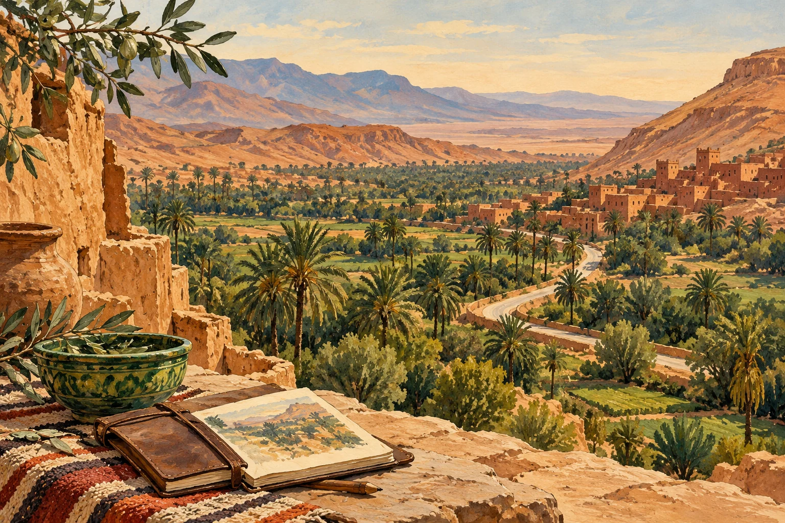
Editorial illustration· UseMorocco Ouled Driss Ksar is a desert ksar in Draa-Tafilalet, best approached from M'Hamid. Its value comes from a desert-edge ksar that gives setting before deeper Sahara routes.

Taragalte Festival is a desert music festival recurring series based in M'Hamid and connected to Draa-Tafilalet. The event is defined by Saharan music, nomadic dialogue, desert camps, cultural exchange and remote-route travel.
- Dune
Dune is recorded as a viewpoint in Zagora.
- Musee Maison Traditionel متحف البيت التقليدي
Musee Maison Traditionel متحف البيت التقليدي is recorded as a museum in Zagora.
- اجواء عرق الشكاكة
اجواء عرق الشكاكة is recorded as a visitor attraction in Zagora.
Arriving and getting around
Transport stops and connections for your arrival.
Choose your actual arrival address or use your location to plan the final approach. Confirm the visitor entrance and vehicle access before arranging a transfer.
Places to stay
Named accommodation. Confirm facilities and availability directly with the host. Showing 6 selected places.
- Ait Atta
Ait Atta is recorded as a hotel in Zagora.
- Auberge L'oasis
Auberge L'oasis is recorded as a hotel in Zagora.
- Bab Rimal
Bab Rimal is recorded as a hotel in Zagora.
- Berber Oasis camp
Berber Oasis camp is recorded as a guest house in Zagora.
- Bivouac azmamarh
Bivouac azmamarh is recorded as a campsite in Zagora.
- Bivouac Berber Chez Mbark
Bivouac Berber Chez Mbark is recorded as a campsite in Zagora.
Itineraries through M'Hamid
29 distinct trip choices. Open an itinerary to see its ordered stops, route and credited photographs.

Travel from Marrakech to Taghazout, visiting Mhamid. 3 stops across 3 days.
Start and finish in Marrakech, visiting Ait Ben Haddou, Ouarzazate, Agdz, Zagora, Tamegroute, Mhamid and Erg Chigaga. 11 stops across 5 days.

Start and finish in Ouarzazate, visiting Agdz, Zagora, Tamegroute and Mhamid. 6 stops across 6 days.
Start and finish in Marrakech, visiting Ouarzazate, Agdz, Zagora, Tamegroute and Mhamid. 8 stops across 7 days.
Start and finish in Marrakech, visiting Ait Ben Haddou, Ouarzazate, Agdz, Zagora, Tamegroute, Mhamid and Erg Chigaga. 11 stops across 8 days.
Travel from Marrakech to Agadir, visiting Ouarzazate, Agdz, Draa Valley, Zagora, Mhamid, Erg Chigaga, Foum Zguid, Tata, Taliouine and Taroudant. 12 stops across 8 days.
Stay & arrange your visit
Explore accommodation around M'Hamid or review services offered by local providers. A place in the guide does not imply available rooms or a partnership.
지도에서
검증된 현지인이 제공함
아직 연결된 파트너 상품이 없습니다.
Browse local services in Draa-Tafilalet