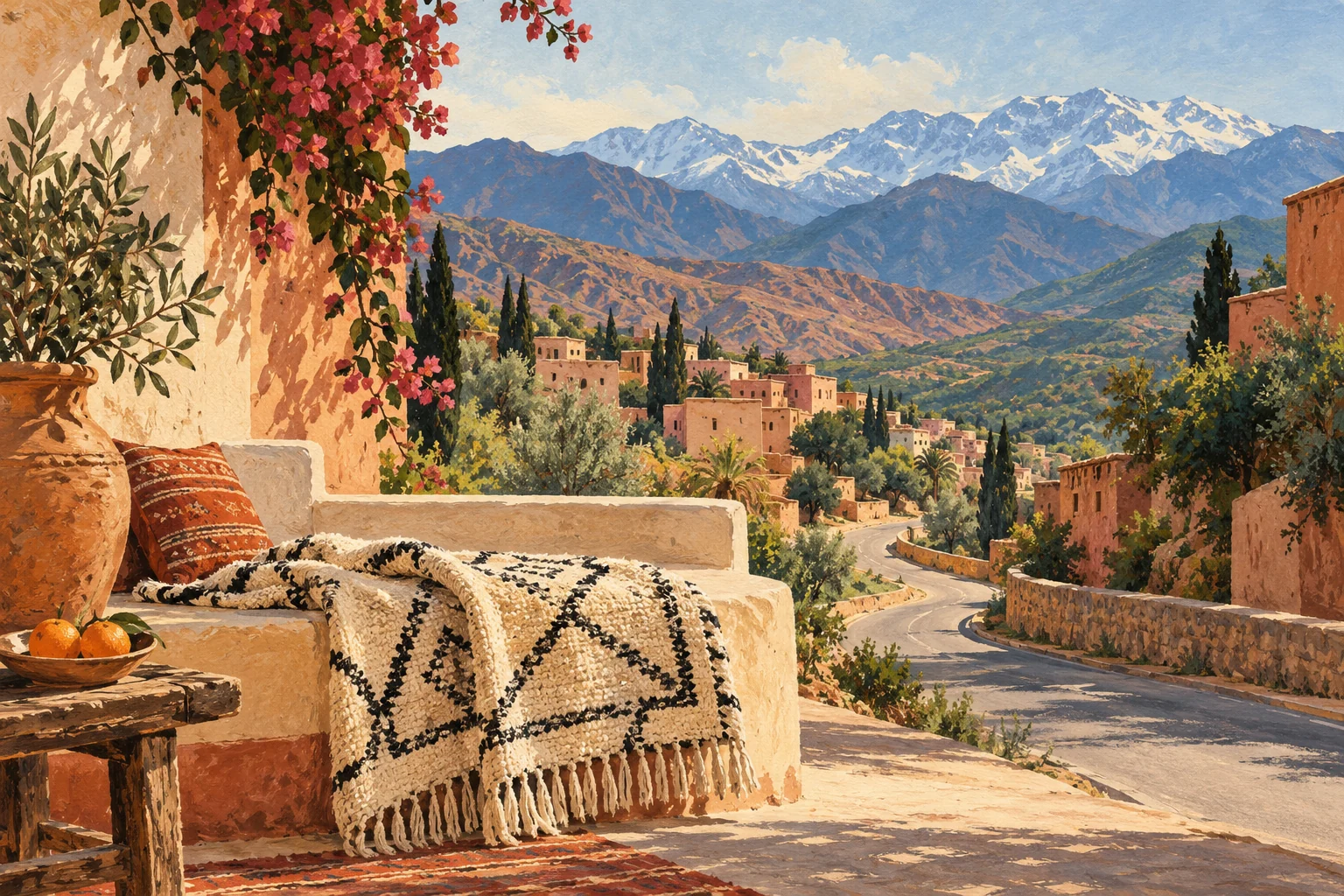
Editorial illustration of mountain travel and woven wool traditions for Azilal.
Fortælling
Azilal er portbyen til det centrale Højatlas — en provinsby beliggende på skråningerne over Oued el Abid, floden hvis navn betyder "tjener" og hvis dal løber ned mod Ouzouds berømte fald. Bag byen rejser M'Goun-massivet og de høje stier i Aït Bouguemez, den "glade dal" som vandrere krydser dage for at nå. Azilal i sig selv er et arbejdende administrationscenter, enkelt og brugbart, forsyningspausen inden bjergene tager over.
Dette er for vandreren på vej mod M'Goun eller Aït Bouguemez, og den rejsende der vil have den ægte Atlas ud over dagsturen. Det er ikke charmerende; dens styrke er vejen der åbner sig ud over den.
Marokkansk landskab
Læs landskabet
- By eller landsby
- Azilal
- Region
- Beni Mellal-Khenifra
Marokkansk landskab
Planlæg besøget
- Bedste sæson
- Apr–Jun, Sep–Oct
Mapped places around the destination use a 20 km geographic area. Use the road-distance filter in Explore to check your approach.
Culture and places to visit
Named sights and visitor guides for your stay.
This service solves a practical gap between seeing a geosite online and arriving prepared. A locally accountable desk or mobile coordinator matches the traveller's objective—family geology, village walk, canyon approach or multi-day trek—to an appropriately qualified guide and a confirmed trailhead. The briefing records weather, transport, footwear, water, communications and turnaround logic without pretending to issue park permission.
- Azilal dinosaur statue
Azilal dinosaur statue is recorded as a public artwork in Azilal.
- Kasbah Panorama
Kasbah Panorama is recorded as a viewpoint in Azilal.
- Ouzoud Falls
Ouzoud Falls is recorded as a viewpoint in Azilal.
- Ouzoud Falls شلالات أوزود
Ouzoud Falls شلالات أوزود is recorded as a viewpoint in Azilal.
- Vue Des Cascades D'Ouzoud منظر شلالات أوزود
Vue Des Cascades D'Ouzoud منظر شلالات أوزود is recorded as a viewpoint in Azilal.

Nature and outdoors
Outdoor places around this destination.

Ait Bouguemez is a High Atlas valley in the Azilal area, where villages and cultivated fields sit beneath mountain slopes. Plan a valley walk separately from a high-mountain trek, and arrange local guidance for paths, access and village visits.
Azilal opens several different Atlas approaches. Ouzoud, Bin El Ouidane and Ait Bouguemez are separate destinations, with different roads and walking plans.

Imsfrane is a natural rock formation in the Azilal mountain landscape. Its cathedral nickname describes its shape, rather than a religious building. Enjoy an established viewpoint or arrange a walking route separately, with local advice about access and conditions.

Ouzoud Waterfalls are one of Morocco’s strongest inland nature stops. The site combines falling water, red-earth paths, viewpoints, olive groves, local restaurants, small boats, monkeys in the wider area, and a strong day-trip economy. Ouzoud belongs within a nature destination with commercial structure around a public landscape. Visitors may need drivers, guides, lunch stops, viewpoint orientation, family pacing and overnight guesthouses.
- Cascades d'Ouzoud شلالات أوزود
Cascades d'Ouzoud شلالات أوزود is recorded as a waterfall in Azilal.
- Jebel Megouname
Jebel Megouname is recorded as a mountain peak in Azilal.

Places to stay
Named accommodation. Confirm facilities and availability directly with the host. Showing 6 selected places.
- Auberge Ajil
Auberge Ajil is recorded as a hostel in Azilal.
- Borj des Cascades
Borj des Cascades is recorded as a hotel in Azilal.
- camp de lac
camp de lac is recorded as a campsite in Azilal.
- Camp Eau vive
Camp Eau vive is recorded as a campsite in Azilal.
- Camping de la Nature تخييم الطبيعة
Camping de la Nature تخييم الطبيعة is recorded as a campsite in Azilal.
- Camping du Lac
Camping du Lac is recorded as a campsite in Azilal.
Stay & arrange your visit
Explore accommodation around Azilal or review services offered by local providers. A place in the guide does not imply available rooms or a partnership.
På kortet
Tilbydes af verificerede lokale
Der er endnu ingen tilknyttede partnertilbud.
Browse local services in Beni Mellal-Khenifra