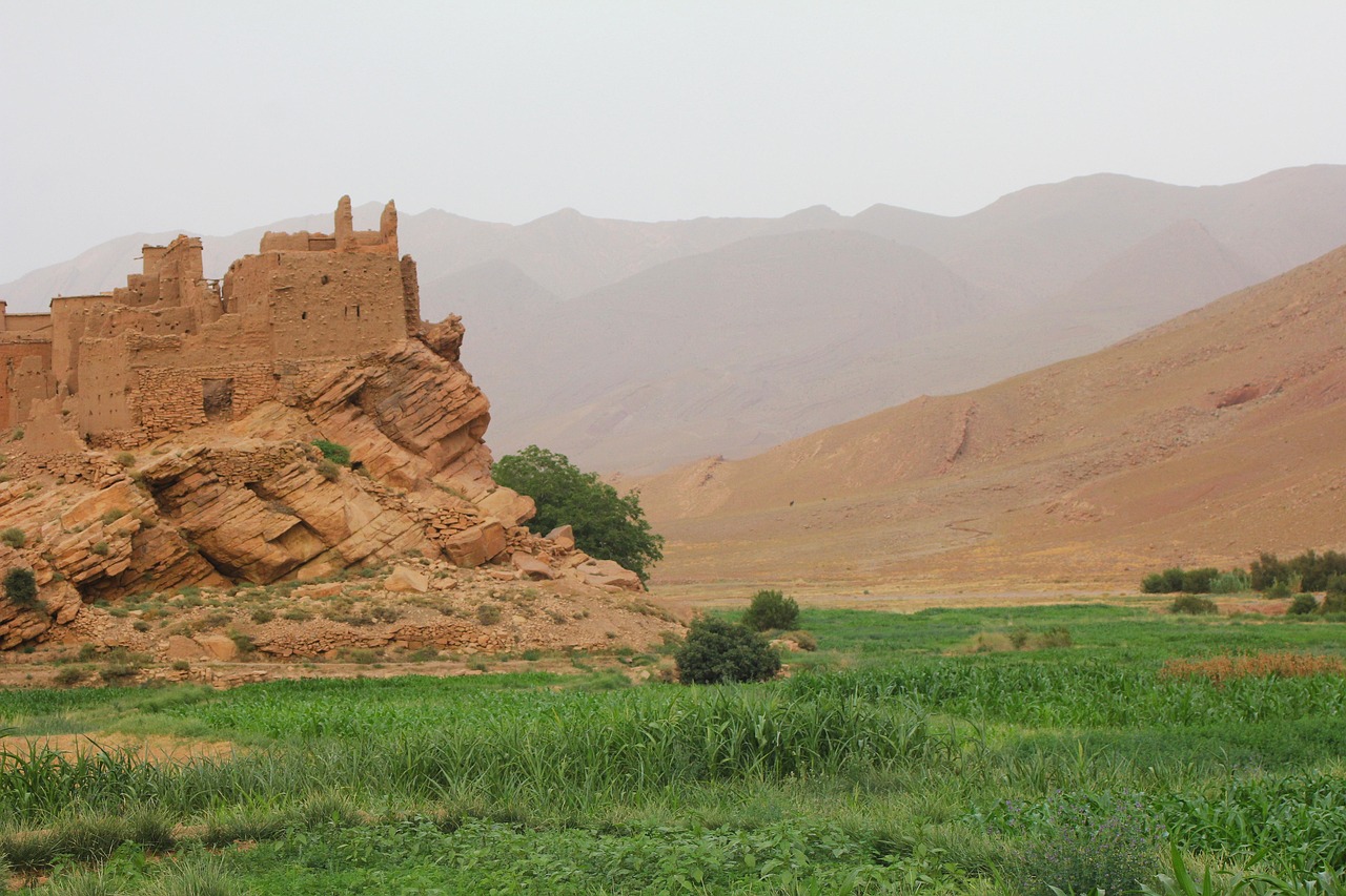
morocco, ouarzazate, field, countryside, tinghir, landscape, ouarzazate, ouarzazate, ouarzazate, ouarzazate, ouarzazate, tinghir, tinghir
Connections across Morocco
Road type: pavedvalleycorridor. Planning risks: valley detours not included, heat, flash flood setting, night driving fatigue.
Along the road
The ordered road stops are Ouarzazate → Skoura → Boumalne Dades → Tinghir.
This Ouarzazate–Tinghir road links the named physical waypoints via Skoura and Boumalne Dades. Planning flags include valley detours not included, heat, flash flood setting, and night driving fatigue.
- road-network drive time
- 3h 9m
- km by road
- 168 km
Road map
Offered by verified locals
No partner offers are attached yet.
If you offer an experience around Ouarzazate, Skoura, Boumalne and Tinghir Road, claim it in the partner portal.
Continue exploring
Ouarzazate
- Draa-Tafilalet: meeting the makers
Draa-Tafilalet Craft and Living Heritage Workshop Circuit focuses on craft workshop through oases, ksour, mountain passes, desert-edge towns and geological landscapes.
- Aït Ben Haddou
Aït Ben Haddou rises above the Ounila Valley near Ouarzazate. Inside its fortified walls, earthen houses, towers and shared spaces reveal how a ksar brings a community together. This architectural ensemble entered UNESCO’s World Heritage List in 1987.
- National Ahwach Festival Ouarzazate
The Ahwach festival setting celebrates collective Amazigh music, dance and poetry in the south, linking Ouarzazate’s event infrastructure with village traditions and cultural travel.
- Autumn in Draa-Tafilalet: a travel guide
The Draa-Tafilalet autumn window spans High Atlas passes, the Draa and Ziz oasis systems, and the long desert approaches beyond Zagora and Erfoud. Autumn in Draa-Tafilalet: a travel guide needs separate allowances: temperature range, daylight, road distance and remote-area recovery time drive the sequence.
- Dades Family Road in 6 Days
Dades Family Road in 6 Days connects Ouarzazate, Skoura, Boumalne Dades.
- Cinema Museum Ouarzazate
Cinema Museum Ouarzazate is an indoor museum setting for sets, props and Ouarzazate's relationship with Moroccan and international screen production. It complements rather than replaces studio visits, and offers a weather-resilient way to understand the film layer of the city.