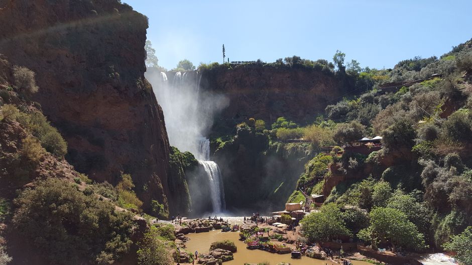
Scenic view of Ouzoud Waterfalls surrounded by lush greenery in Morocco.
Along the road
This central Atlas road links Marrakech with Demnate and Ouzoud, combining road travel, geology or village stops and a waterfall day or overnight plan. Marrakech Demnate Ouzoud Road should be treated as a road system, with stops, travel time, optional detours and service choices rather than a single destination page.
The main connected points are Demnate, Azilal, and Ouzoud Waterfalls. The baseline estimate is approximately 160 km and 180 minutes in normal planning conditions, but road, weather, traffic and stop duration can change the result.
Marrakech Demnate Ouzoud Road should be represented as a map line and connected to each stop page.
- road-network drive time
- 3h 18m
- km by road
- 168 km
Road map
Offered by verified locals
No partner offers are attached yet.
If you offer an experience around Marrakech Demnate Ouzoud Road, claim it in the partner portal.
Continue exploring
Marrakech
- Henna Art Experiences
Henna Art Experiences takes place around Marrakech, National.
- Ghmate
Ghmate is a historic foothill town east of Marrakech, linked to early regional history, spiritual memory and roads toward Ourika and the High Atlas. It can support respectful heritage interpretation and quieter day trips.
- Jemaa el Fnaa Orange Juice
Jemaa el-Fnaa Orange Juice centers on fresh orange juice associated with Marrakech's main square and high-volume street refreshment.
- 1-54 Marrakech Contemporary African Art Fair
The Marrakech edition of 1-54 gathers galleries and artists from Africa and its diaspora, with the main fair complemented by talks, projects and gallery openings across the city.
- Autumn in Marrakech-Safi: a travel guide
Autumn in Marrakech-Safi: a travel guide is in Marrakech, Marrakech-Safi.
- High Atlas Trail Running in 5 Days
High Atlas Trail Running in 5 Days connects Marrakech, Imlil, Asni.