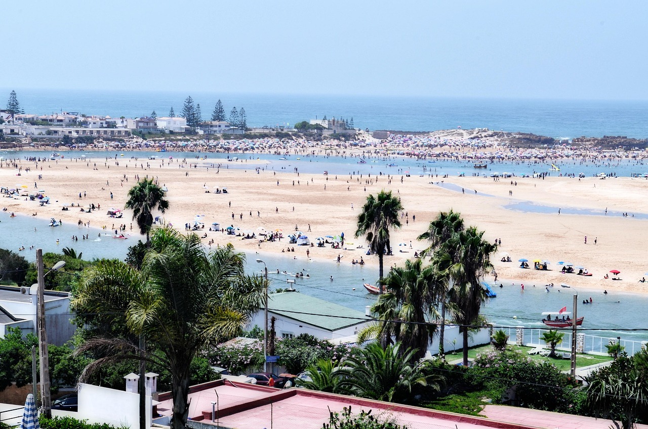
beach, landscape, sea, ocean, sand, the water, summer, side, nature, oualidia, region of morocco
Connections across Morocco
Road type: pavedatlanticcoastal. Planning risks: city exit traffic, coastal wind, lagoon access and tide setting.
Along the road
The ordered road stops are Casablanca → Azemmour → El Jadida → Oualidia.
Road and stop order
The A1 provides the fast structure for a coast itinerary, while the cultural experience happens only after lawful exits. Autoroutes du Maroc lists Casablanca, Had Soualem, Tnine Chtouka, Azemmour, El Jadida, Jorf Lasfar, Sidi Smail and Oualidia in sequence. That allows travelers to connect urban museums, river-town Azemmour, UNESCO Mazagan and a lagoon landscape without mislabeling the motorway as scenic. Industrial Jorf Lasfar is a road setting, not an unsanctioned tourism stop. Tolls, works, traffic, lagoon activities and museum admissions remain live. The shared road subject is the verified A1 spine and ordered cultural gateways.
- Road identifier: A1
- Season/access: Use live ADM traffic; fog, surf and lagoon operations need separate coastal verification.
- Casablanca Centre interchange — Urban departure after a separately planned museum or architecture visit.
- Had Soualem interchange — Official motorway transition toward the Doukkala coast; no stop is implied.
- Tnine Chtouka interchange — Access junction before the Azemmour and El Jadida cultural gateways.
- Azemmour interchange — Exit for the separately routed ramparts and Oum Er-Rbia river edge.
- El Jadida East or South interchange — Gateway to UNESCO Mazagan via current urban roads.
- Sidi Smail interchange — Inland Doukkala junction on the official A1 sequence.
- Oualidia interchange — Motorway exit for a separately verified lagoon and village approach.
The road sequence between Casablanca and Oualidia is encoded via Azemmour and El Jadida. Planning flags include city exit traffic, coastal wind, and lagoon access and tide setting.
- road-network drive time
- 2h 58m
- km by road
- 218 km
Road map
Offered by verified locals
No partner offers are attached yet.
If you offer an experience around Casablanca, Azemmour, El Jadida and Oualidia Road, claim it in the partner portal.
Continue exploring
Casablanca
- Casablanca Modernist Architecture Walk
Casablanca Modernist Architecture Walk focuses on guide-led public-exterior walk through twentieth-century urban layers.
- Casablanca
Casablanca meets the Atlantic through its seafront and Hassan II Mosque, while the city centre reveals Art Deco façades and busy streets. The old medina and Habous neighbourhood add different layers to a city visit.
- Rfissa
Its defining character is shredded msemen or trid layered with lentils, fenugreek, chicken and aromatic broth.
- Casablanca Heritage Days by Casamémoire
Casamémoire's Heritage Days are the rare moment when specialist knowledge, volunteer mediation and selected twentieth-century buildings are assembled into a public citywide program.
- Autumn in Casablanca-Settat: a travel guide
Autumn in Casablanca-Settat: a travel guide is in Casablanca, Casablanca-Settat.
- Moroccan cities: a seven-day accessibility planning guide
Moroccan Cities Step-Aware Itinerary in 7 Days connects Casablanca, Rabat, Marrakech.