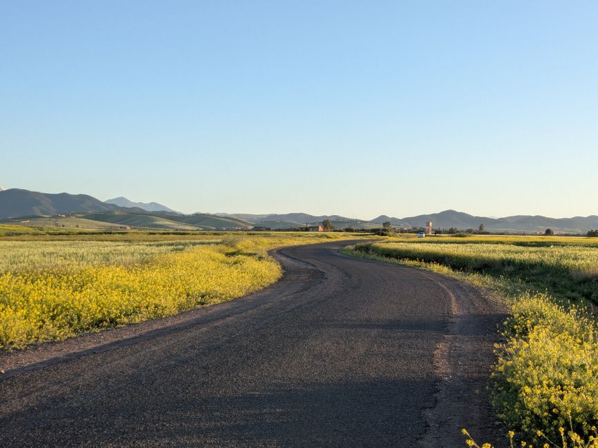
A winding road through yellow fields and mountains in Marrakesh, Morocco, under a clear evening sky.
Connections across Morocco
The road is ordered as Bouizakarne → Assa.
The road between Bouizakarne and Assa uses a single physical road segment.
- road-network drive time
- 2h 1m
- km by road
- 110 km
Road map
Offered by verified locals
No partner offers are attached yet.
If you offer an experience around Bouizakarne to Assa: road guide, claim it in the partner portal.
Continue exploring
Bouizakarne · Guelmim-Oued Noun
- Bouizakarne
Bouizakarne is a road-junction town at the southern foot of the Anti-Atlas — where the highways from Tiznit, Agadir, and Guelmim converge before pushing south, and where the argan forests, famous for the goats that climb their branches, give way to the stonier desert country.
- Bouizakarne to Amtoudi via Ifrane Atlas Saghir: road guide
This physical road follows Bouizakarne → Ifrane Atlas Saghir → Amtoudi.
- Amtoudi Granary Guided Hike
Amtoudi Granary Guided Hike focuses on local-guide road to communal granary viewpoints with road and heat decision per departure.
- Ait Baamrane Cactus Fruit
Its defining character is prickly pear and cactus products associated with Ait Baamrane territory and southern markets.
- Moussem annuel de la Zaouïa d’Assa
Assa’s annual zaouia moussem gathers religious observance, kinship visits and Saharan social exchange around the old oasis settlement and ksar. It is not a generic stage festival: its meaning comes from the zaouia, the Aït Oussa and other communities connected to Assa, and the meeting of settled and nomadic heritage. Dates, processions, market activity, access rules and photography conditions come only from the responsible edition authority.
- From Guelmim Airport to the coast and oases
From Guelmim Airport to the coast and oases is in Guelmim Airport, Guelmim-Oued Noun.